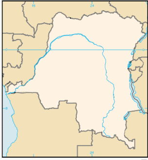
Main differences between Maps and Photos
Firstly, maps are abstract while photos are real.

Secondly maps tend to have specified scales while photos have no specified scales
Thirdly maps are easier to identify direction while photos are difficult to identify direction.
Maps are described using directions, locations and positions while photos are described by dividing into foreground, middle ground or centre and background.
On maps features are represented using symbols and conventional names, while on photographs features are represented in real perspective.
On maps features are drawn in two dimensions while in photographic interpretation features drawn in three dimensions.
Maps and photographs as methods of representing geographical phenomena are equally useful.
Among students, there are always contrasting ideas concerning which of the two is easier to handle. Some say maps, others photos. This all depends upon the teachers of geography. However, the truth is that each method has areas in which it is advantageous over the other.
All in all, the two methods of representing geographical information are both impressive and interpretative and as such have simplified work in geography. The knowledge got from using maps and photos is a key to practical sciences stocked today. For example, the idea of photos-enables highly trained meteorologists to interpret satellite imageries or pictures which can foretell the impending hazards like cyclones, depressions, heat waves, thunderstorms, droughts.
Similarly in medical sciences like radiography, photography plays a major role.
Maps are very essential in air navigation, in military operations, global exploration etc. These are examples which do not need any doubt.

Like maps of different scales, photos also differ in type as well as in character. This is perhaps an area where students get confused when dealing with photos. Let us now see the different types of photographs.